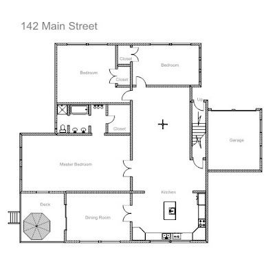
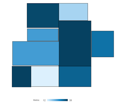
Here is a snapshot that shows how a floor plan map layer extracted from an image looks like:
Floor Plan Image

Floor Plan Custom Map Layer extracted from Image

One way to achieve this is using Oracle Map Builder and Oracle Map Editor tools.
Step by step instructions on how to convert image to a map layer: Image to geoJSON Map Layer
Here is a high level view of steps involved in this process:
1) Create a Base Map using the Image file received, using Oracle Map Builder tool.
2) Create a GeoRaster theme using the Base Map using Map Builder tool
3) Create a Base Map based on the GeoRaster Theme using Map builder tool
4) Create a Geometry layer to show different regions on the map using Map Editor tool
5) Create a Theme(a database table) based on the Geometry Layer using Map Builder tool
6) Export the Theme to geoJSON using Oracle Map builder.
Are you an Oracle Analytics customer
or user?
We want to hear your story!
Please voice your experience and provide feedback
with a quick product review for Oracle Analytics Cloud!
-
1 comment:
nice blog , very helpful and visit us for VISUALIZATION SERVICES in India
Post a Comment